Professional Drone Services & Aerial Imaging in Colorado City
Enhanced Project Planning Through Advanced Aerial Technology
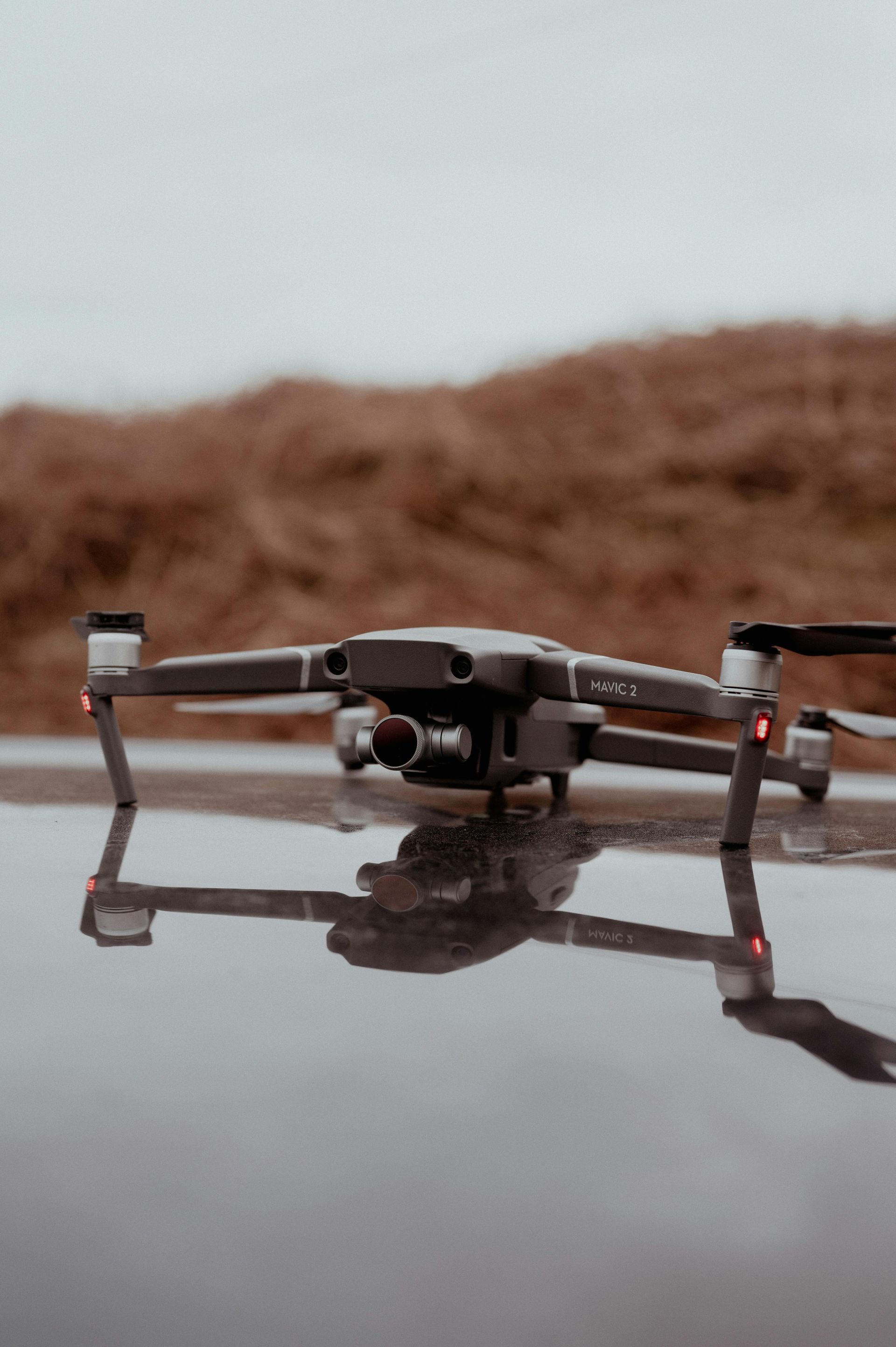
Colorado City construction and design projects benefit from precise aerial documentation and planning capabilities that traditional methods cannot provide. ACES West Texas offers professional drone services and aerial photography that enhance project accuracy, improve design visualization, and create compelling marketing presentations for your business or property.
Our drone technology supports both construction planning and promotional photography needs throughout West Texas.
From roof inspections to progress documentation and comprehensive land mapping, our aerial imaging services provide the detailed perspective needed for informed decision-making and professional project management.
Book your aerial imaging consultation now in Colorado City.
How Does Professional Drone Service Work in Colorado City?
Our aerial imaging process begins with flight planning and site assessment to capture the specific angles and details needed for your project goals. We provide aerial photography and video documentation, plus detailed roof inspections and scans for solar installation or remodeling planning purposes.
During documentation flights, Adam Clendennen's Electrical Services captures high-resolution imagery for land surveying and mapping, progress tracking for commercial builds, and comprehensive property assessments. This innovative service enhances project accuracy while providing valuable visual documentation.
We also use drone technology for precise rooftop scanning that supports solar system design and construction planning, ensuring optimal panel placement and identifying potential installation challenges before work begins.
Schedule professional drone services today in Colorado City.
Colorado City Aerial Imaging Advantages
Our drone services combine technical expertise with local knowledge to deliver actionable aerial intelligence for your projects.
- Why choose professional aerial services? Advanced imaging technology provides precise documentation that enhances project planning and reduces costly surprises
- What applications do we support? Roof inspections, solar design planning, land surveying, commercial construction progress tracking, and marketing photography
- How do we ensure accuracy? High-resolution aerial photography and video capture with detailed mapping capabilities for comprehensive project visualization
- What sets our service apart? Integration with construction and electrical services provides seamless project support from planning through completion
- How do we serve Colorado City projects? Understanding of local terrain, weather conditions, and regulatory requirements for safe and effective aerial operations
Gain valuable project insights with professional aerial imaging. Contact us today to schedule drone services in Colorado City.